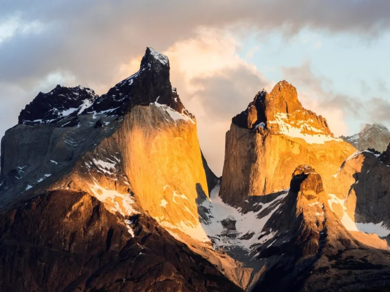
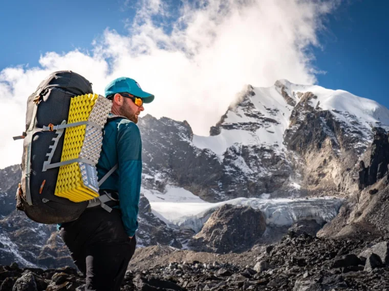
Everest Base Camp: BTS27 Special Expedition
A night camped at Everest Base Camp, in the year Joe Alexander climbs Everest.
From £2,500
£500 deposit to reserve, payment plans available

Sixteen days to the foot of the third highest mountain on earth, on a trail so quiet you can walk a week without meeting another group, finishing at the prayer flags of Oktang beneath the 3,000 metre Yalung Face.
Everest has queues. Annapurna has bakeries. Kanchenjunga has almost nobody at all.
This is the far eastern corner of Nepal, hard against the Sikkim border, and it remains one of the least walked corners of the Himalaya. The trail begins in Limbu farming country, among terraces and cardamom and villages where a foreign face is still worth a second look, and climbs through rhododendron and birch forest into a valley of yak pasture and glacial moraine. Above the last shelter there is nothing but the Yalung Glacier, and above that the south west wall of Kanchenjunga itself: 8,586 metres, third highest on earth, and the only one of the world's great mountains that you can still stand beneath in silence.
We go late in the season, deliberately. Late November into December brings the driest air and the sharpest light of the year, and with it real cold: nights of minus fifteen and colder at the top camp, and a good chance that the two lodges at Ramche have already shut for winter. So we carry tents, a kitchen crew and everything we need above Tortong, and we treat the upper valley as the small expedition it genuinely is.
Twelve guests, one expedition leader, sixteen days, and one of the last great trekking valleys in Nepal with the trail almost entirely to ourselves.
You arrive at Tribhuvan International, where the queues are long and the paperwork unhurried, and your leader will be waiting on the other side of customs. The drive into the city takes you through the noise and dust and cheerful chaos of Kathmandu, and into the relative quiet of a garden hotel in Thamel.
There is time to shower, sleep off the flights and walk the lanes for an hour if you are still upright. Thamel is a strange and enjoyable place: trekking shops stacked three deep, singing bowls, momo houses, and prayer flags strung above streets that smell of incense and two stroke engines.
In the evening we gather for the welcome dinner and the expedition briefing. This is the honest conversation about what this trip is: the road days, the altitude profile, the cold at the top, and the fact that above Tortong we are camping and self sufficient. Come with questions.
Kanchenjunga sits inside a restricted area, and the permits for it can only be issued in Kathmandu through a registered agency. That work happens this morning while you have breakfast, and it is the reason we build a full day into the city rather than flying east on arrival.
Your leader runs a kit check today, and it is not a formality. This is a December trek to 4,730m with two nights camping at around 4,500m, and the two things that go wrong are sleeping bags that are not warm enough and boots that have never been walked in. Anything missing can be bought or hired in Thamel this afternoon, which is the whole point of doing it here.
With the admin done, we spend the rest of the day in the old city. Boudhanath is one of the largest stupas in the world and the heart of Tibetan Kathmandu: pilgrims walking the kora clockwise, butter lamps, the low sound of monastery horns at dusk. Patan Durbar Square, across the river, is Newar craftsmanship at its finest, a dense square of pagoda temples and carved wood that survived the 2015 earthquake better than most.
An early start for the domestic terminal and a 45 minute flight east to Bhadrapur, which sits at 91 metres on the flat, hot, densely farmed plain of the Terai. If the morning is clear the flight is spectacular, with the whole eastern Himalaya standing along the left hand windows.
From Bhadrapur we head north by jeep, and within an hour the plain gives way to hills. The Mechi highway climbs steadily through Birtamod and up into Ilam district, Nepal's tea country, where the slopes are combed into neat green terraces and the mist comes and goes across the estates at Kanyam and Phikkal. It looks more like Darjeeling than most people's mental picture of Nepal, which is exactly what it is: the same hills, the other side of a border.
We stop for tea where the view is best, and reach Ilam at around 1,220 metres in the late afternoon. It is a pleasant hill town with a bazaar and a monastery and a genuine chill in the air after the Terai. Enjoy the comfort. It is the last easy night for a while.
Today is a driving day and an honest one: four to five hours of climbing, dropping and climbing again on a road that switchbacks along ridge lines with very long views on both sides. We pass through Phidim, the district headquarters of Panchthar, and keep heading north with the hills getting steeper and the villages further apart.
The country here is Limbu, one of the Kirat peoples of eastern Nepal, and it looks it: steep terraced fields cut into slopes that seem too steep to farm, cardamom drying beside the road, wooden houses painted in ochre and white. This is a part of Nepal that sees very few foreign visitors, and the reception you get in a roadside tea shop reflects that.
We arrive in Taplejung, properly called Phungling, in the afternoon. It is a working district town at about 1,790 metres, strung along a ridge, with a bazaar, a hospital and the last mobile signal you can rely on. High above it stands the Pathibhara Devi temple, a major pilgrimage site drawing Hindu and Kirat pilgrims from across eastern Nepal and India.
The jeep road into the Kabeli valley is recent, and it has quietly removed four days of low altitude walking that older Kanchenjunga itineraries still describe. What it has not done is become comfortable. Expect five to six hours on a rough, narrow, unsurfaced track that doubles back east from Taplejung and works its way along the valley through Khebang, with drops on one side and hillside on the other.
It is a spectacular, jolting, occasionally alarming drive, and it delivers you to Yamphudin at 2,080 metres: the last permanent village on this side of the mountain, a scatter of houses and terraced fields at the meeting of two rivers, with about a dozen homes taking in trekkers. The permit checkpost is here, and the paperwork gets looked at properly.
This afternoon we meet the porter and kitchen crew who will be with us for the rest of the trek, sort loads, and walk a short way up the valley to stretch out the drive. From tomorrow there are no roads, no villages and no vehicles: everything that goes up the valley from here goes up on somebody's back.
The trek begins properly, and it begins hard. Six to seven hours and around eighteen kilometres, climbing steeply out of Yamphudin through terraced fields and into forest, up over the Lamite ridge, and then dropping to the Simbuwa Khola on the far side. Roughly 900 metres of ascent, and a good deal of descent on top of it.
The forest is the reward. Oak and rhododendron give way to birch and bamboo, the trail is soft underfoot and thick with moss, and there are stretches where the canopy closes over entirely and the only sound is the river a long way below. There is one landslide-scarred section on the descent that needs care and is best crossed with the group spread out.
We camp at Tortong, a herders' clearing at almost exactly 3,000 metres in coniferous forest beside the river. There is a basic shelter here, but this late in the season we pitch tents, and tonight is the first proper cold: expect the temperature to drop hard the moment the sun leaves the valley. It is also the first night above 3,000 metres, so drink more than you want to and tell your leader if your head aches.
A gentler day after yesterday: four to five hours and about eleven kilometres, climbing steadily north beside the Simbuwa Khola. The forest thins as you gain height, rhododendron and birch giving way to juniper scrub, and then quite suddenly you are above the treeline and the valley opens out.
Tseram sits at 3,870 metres, a kharka rather than a village: a summer grazing ground with two or three simple lodges that may or may not still be staffed this late in the year. Either way we camp, because a tent you control beats a lodge that might be shut.
This is where the trek changes character. The air is thin and dry, the light is hard, and for the first time there are proper mountains visible up the valley rather than forest. Afternoons here are cold once the sun goes behind the ridge, which happens early in December, so the routine begins: get in, get a hot drink, get layers on before you cool down. The evening sky at this altitude, this far from anything, is worth staying out in the cold for.
The most useful day of the trek, and the one guests are most tempted to argue with. We stay at Tseram, and we do the thing that actually works: walk high, sleep low.
After a slow breakfast we climb two or three hours up the side valley towards the Sinelapche ground, gaining three or four hundred metres, and then come back down to camp. It is not far and it is not fast, and that is deliberate. The point is to give your body a few hours at height and then let it recover somewhere it can sleep properly. The views from the high point are the first real ones of the trip: the head of the Yalung valley to the north east, and the Indian border peaks starting to show themselves.
The rest of the day is yours. Read, doze in the sun with the tent door open, drink tea, wash something in a bowl of warm water and regret it immediately. Your leader will run through the plan for the moraine, check everyone over properly, and make the call about tomorrow. It is a slow day by design, and by the evening most people have stopped resenting it.
A short day on paper and a serious one in practice: about seven kilometres and four to five hours, but climbing to roughly 4,500 metres and sleeping there. The trail leaves the kharka and climbs through open alpine meadow, past the last of the yak pasture, before working up onto the lateral moraine of the Yalung Glacier.
The landscape here stops being a valley and becomes something harder and more geological: grey moraine ridges, frozen streams, boulder fields, the glacier itself grinding away below under its own load of debris. Above and ahead, the Indian border peaks come out properly for the first time: Kabru North and Kabru South, both over 7,300 metres, and Rathong and Koktang along the ridge.
Ramche is a spread out shelf on the moraine with two very basic lodges, both of which should be assumed shut at this point in the season. We camp. This is the coldest place we sleep, comfortably minus fifteen and quite possibly colder overnight, with no running water anywhere and everything frozen by morning. Take your water bottle into your sleeping bag, sleep in your hat, and eat everything you are given.
This is the day. We leave camp at first light, in the cold and the dark, because the morning air here is the clearest of the whole trip and the mountain is at its best before the light flattens out.
It is a little over an hour and a half from camp: three kilometres and around 250 metres of climbing along the crest of the moraine, over boulders and frozen ground, with the glacier below on one side. Then the ridge levels and there is a chorten hung with prayer flags, and there is nothing beyond it but the mountain.
From Oktang, at 4,730 metres, the whole south west side of the Kanchenjunga massif is laid out above the Yalung Glacier: the main summit at 8,586 metres, the third highest point on earth, with Yalung Kang, Kanchenjunga Central and Kanchenjunga South strung along the ridge beside it, all four of them above 8,400 metres. Below them runs the Yalung Face, three thousand metres of ice and rock, the line the British expedition took on the first ascent in 1955. To the south the border ridge carries Talung, Kabru and Rathong. It is an enormous, quiet, faintly unreasonable view, and there is a very good chance you will have it entirely to yourselves.
We take our time, then walk back to Ramche for a second night, which is the kindest thing we can do to a group that has slept two nights at 4,500 metres and still has a long way to walk out.
Down, and it feels wonderful. Three to four hours back along the moraine and through the meadows to Tseram, losing around six hundred metres, and the difference that makes is out of all proportion to the numbers. The air thickens, the cold loses its edge, and appetite comes back like a switch has been flicked.
It is worth walking this stretch slowly and looking behind you, because the views back up the valley to the Kabru wall are better in this direction than they were on the way up, and this is the last of them.
We are back at Tseram by early afternoon with the rest of the day free. This is the evening when the trip starts to be something people talk about rather than something they are enduring: everyone has been to Oktang, everyone has survived two nights on the moraine, and there is hot food, thicker air and a full night's sleep ahead. Expect the mess tent to be noisy.
Four to five hours back down the Simbuwa Khola to Tortong, dropping nearly nine hundred metres and returning below the treeline. After a week of rock, moraine and thin dry air, walking back into forest is a genuine pleasure: the smell of it, the softness underfoot, the noise of birds you have not heard for days.
The valley looks different going down. On the way up you are watching the trail and counting the metres; on the way back you notice the moss on the boulders, the way the river braids, the small shrines beside the path. The Kanchenjunga Conservation Area protects snow leopard, red panda and Himalayan black bear across these forests. You are unlikely to see any of them, but the fact that they are here is part of what makes this valley what it is.
We camp again at Tortong, at 3,000 metres, and it will feel almost tropical after the moraine. Tonight is the night people sleep for ten hours.
The last full walking day, and it has a sting in it: the climb back over the Lamite ridge is a real one, six to seven hours all in, with the landslide section to cross again before the long descent into Yamphudin.
But the country softens with every hour. Conifer gives way to broadleaf forest, forest gives way to terraces, and by mid afternoon you are walking past cardamom drying in the sun and children shouting from doorways. After eight days in an empty valley, a village feels loud and warm and extremely welcome.
We are back at the teahouse in Yamphudin for the night, which means a bed, a wood stove and walls, and the crew who have carried and cooked for a week will make an occasion of it. This is the evening we thank the porters and the kitchen team properly, and it is one of the best nights of the trip. Whatever you have left in your kitbag that you are not going to use again, this is the place for it.
A long travelling day, and after nine days on foot nobody minds sitting down for it. We leave Yamphudin early, back along the jeep track through Khebang and up to Taplejung, then west and south on the mountain road towards Ilam.
It is eight to ten hours of driving all told, broken by tea stops and a proper lunch, and it unwinds the whole journey in reverse: moraine to forest to terrace to tea garden, three thousand metres of descent and a climate change to go with it. Phone signal comes back somewhere above Taplejung, and the jeep goes quiet as everyone finds out what has happened in the world.
We reach Ilam in the evening for a hot shower, a cold beer and a bed with a mattress, which after a fortnight is a combination worth taking seriously.
A last few hours on the road, dropping out of the hills and back onto the plain to Bhadrapur, and then the short flight west to Kathmandu. If the weather is doing what December usually does, the northern horizon on this flight is a solid wall of white the entire way, and somewhere out to the east is the mountain you have just walked to.
We are back in Thamel by mid afternoon. There is time for the things everyone has been thinking about for a fortnight: a long shower, clean clothes out of the bag you left behind, and an hour in the gear shops buying the things you now know you should have brought.
In the evening we gather for the farewell dinner. Photographs get passed around, the leader says a few words, somebody produces the picture of the whole group at the chorten, and the trip settles into place as the thing it actually was. It is a good night, and it usually goes on longer than anyone planned.
Breakfast together, a last walk round Thamel for anyone with time, and then transfers to Tribhuvan International for onward flights. Your leader will have confirmed everyone's timings last night and will see the group through check in.
You will go home with cold-stiffened boots, a phone full of photographs and a mountain most people you know cannot place on a map. The third highest peak on earth, and you stood beneath its south face with prayer flags snapping in the wind and nobody else there at all.
That is the thing about Kanchenjunga. It is not the hardest trek in Nepal, and it is not the highest. It is simply one of the last places in the Himalaya where you can walk for a week and have the mountains to yourself, and that is getting rarer every year.
It is graded Hard, the third of our four grades. That is 16 days of it, so being ready matters more than being fast. The highest point is about 4,730m, so altitude is part of what makes it hard. If you are unsure whether it suits you, talk to us before you book rather than after: we would far rather move you to the right adventure than watch you struggle on the wrong one.
Every trip runs with qualified leaders, a risk assessment written for the route, emergency procedures and communications planned before departure, and local support on the ground. Travel insurance covering your chosen activities is a condition of booking.
Most nationalities, including British citizens, can obtain a Nepali tourist visa on arrival at Tribhuvan International Airport in Kathmandu, or apply online in advance, and we recommend applying online to shorten the queue after a long flight. A 30 day visa comfortably covers this trip. Bring a passport photo and payment in cash US dollars as a backup. Your passport must have at least six months' validity beyond your date of travel and a couple of blank pages. Please note that the Kanchenjunga restricted area permit is issued against your passport details in Kathmandu, so if you renew your passport between booking and departure you must update your guest portal immediately.
Kanchenjunga is a restricted area. Two permits are required: the Kanchenjunga Restricted Area Permit, currently around US$20 per person per week, and the Kanchenjunga Conservation Area Permit, currently around 2,000 to 3,000 Nepalese rupees. Both are included in your trip price. The restricted area permit can only be issued in Kathmandu, through a registered Nepali trekking agency, and it cannot be obtained at the trailhead, which is why the itinerary includes a full day in the capital rather than flying east on arrival. Nepali regulations also require that all trekking in this area is done with a licensed guide through a registered agency. Permits are checked at the Yamphudin checkpost.
This is graded Hard, the third of our four grades, and the difficulty is not technical. There is no climbing, no scrambling, no exposure and no equipment to learn. What it asks is nine consecutive walking days on rough mountain trails, two of them six to seven hours with substantial ascent and descent, at altitudes up to 4,730 metres, followed by long road days at each end. You should be comfortable walking six to seven hours on hill ground carrying a daypack, on consecutive days, and you should have trained for that specifically rather than for one hard day. The cold and the camping add a layer that a teahouse trek does not have. Our pre departure training programme starts sixteen weeks out and is built around exactly this.
The highest point of the trek is Oktang at 4,730 metres, and the highest sleeping altitude is Ramche at around 4,500 metres, where we spend two nights. This is high enough for altitude sickness to be a genuine consideration and not high enough to require anything exotic. Two things about this route are worth knowing honestly. The jeep road now reaching Yamphudin has removed several days of low level walking that used to acclimatise groups gently, and two stages on the current profile involve larger sleeping altitude gains than the textbook guideline. We mitigate both with a full acclimatisation day at Tseram and a second night at Ramche. Your leader carries pulse oximeters, emergency oxygen and a portable hyperbaric bag, logs readings twice daily above 3,000 metres, and will always choose descent early over pressing on.
We travel deliberately at the tail of the season, and it is a genuine trade off. The advantages are real: December is the driest month of the year here, the post monsoon air is exceptionally clear, and the views of Kanchenjunga are as good as they ever get. The cost is cold. Expect daytime temperatures of around zero to plus five degrees Celsius in the sun at Tseram, and below freezing at Ramche, with overnight temperatures of minus ten to minus fifteen at Tseram and minus fifteen to minus twenty two at Ramche, colder in wind. Snow is likely above about 4,300 metres and microspikes are treated as essential rather than optional. Lower down, the road days and the forest sections are mild and pleasant.
You will sleep in hotels in Kathmandu and Ilam, a simple guest house in Taplejung, a village teahouse in Yamphudin, and expedition tents for the six nights above it. The camping is not a stylistic choice. Teahouses on the upper south side of Kanchenjunga are few, basic and seasonal: the two lodges at Ramche close for winter, and Tseram may have nothing staffed by December. Rather than gamble a group at 4,500 metres on a lodge that might be shut, we carry tents, a mess tent, a toilet tent and a full kitchen crew, and we are self sufficient from Tortong upwards. Tents are two person and shared as standard. If a lodge does turn out to be open, that is a bonus we will happily take.
Comprehensive travel insurance is a condition of joining this expedition, and this trek needs more care than most. Your policy must explicitly cover trekking to 5,000 metres, helicopter evacuation and repatriation. Read the policy wording rather than the summary, and if the altitude limit is not stated in writing, get it confirmed by email. This matters particularly in Nepal, where insurers now examine helicopter evacuation claims very closely following a significant rescue fraud prosecution, and an ambiguous policy can leave you personally liable for a very large bill. Please upload your policy number and your insurer's 24 hour emergency number to your guest portal by four weeks before departure, and we will check that the cover matches the route we are actually walking.
This is one of the most remote trekking routes in Nepal and you should book it understanding that. There is no rescue post, no aid post and no doctor anywhere on the trail. Mobile coverage is unreliable above Taplejung and effectively absent above Yamphudin. Your leader carries a satellite communicator for the whole trek. The nearest medical facility is the district hospital at Taplejung, a day and a half from the high camp; serious cases go on to Birtamod or Biratnagar, several hours' drive further. Helicopter evacuation is possible at these altitudes but there is no helicopter base in the district, aircraft come from Kathmandu or Biratnagar, and you should assume a next day rather than same day response. This is precisely why the insurance requirement is strict.
International flights are not included. Fly into Kathmandu (KTM), where there are no direct services from the UK; common routings are via Doha, Dubai, Istanbul or Delhi. The two domestic flights between Kathmandu and Bhadrapur are included in your trip price. One honest warning about the schedule: this itinerary has no spare day built into it, and December fog on the Terai plain delays morning departures from Bhadrapur fairly regularly. We book the earliest slots and buffer time where we can, but please do not book a tight onward connection from Kathmandu on the final day, and consider adding a night at the end. Please add your flight details to your guest portal as soon as they are booked.
Nepal uses the Nepalese rupee. Change money or withdraw cash in Kathmandu, where rates are good and cash machines are plentiful. Beyond that, the last reliable cash machines on this route are at Birtamod and Ilam, and there is nothing at all above Taplejung. Everything on the trek is included, so what you need cash for is drinks, snacks, hot showers and charging where they are available, souvenirs, and tips. Tipping is customary in Nepal and the trekking crew depend on it: your leader will send suggested amounts for guides, porters, kitchen crew and drivers before departure, and it is worth getting the small denominations you need while you are still in the capital. Cards work in Kathmandu hotels and larger shops and nowhere else on this trip.
All meals are included from Yamphudin onwards, and while we are camping they are cooked by our own kitchen crew rather than bought at lodges. Expect a great deal of dal bhat, which is rice, lentil soup and vegetable curry, and which is genuinely good and endlessly refilled; alongside it noodles, soups, porridge, eggs, Tibetan bread, potatoes and a steady supply of tea. Packed lunches are carried every trekking day, because the intermediate teahouses that operate in high season are shut at this time of year. Vegetarians are easily catered for. Vegan, gluten free and any serious allergy must be added to your guest portal when you book so the kitchen crew can plan and please understand that in a valley with no resupply the range will be repetitive.
See a travel clinic at least eight weeks before departure, and take the itinerary with you. Typical advice for Nepal includes routine boosters such as tetanus, plus hepatitis A and typhoid, and your clinic may discuss rabies and Japanese encephalitis depending on your history. Malaria is not a risk on this route at this time of year. Discuss acetazolamide for altitude, and bring anything you would want for a stomach upset, because that is the most common problem trekkers actually get. Bring all personal medication in its original packaging with a copy of the prescription, and enough to cover the trip twice over. Drinking water on the trek is boiled or treated by our crew and is provided throughout.
One thing that surprises trekkers who know the Everest or Annapurna regions: the approach to Kanchenjunga from the south is not Sherpa country. Taplejung district is predominantly Limbu, one of the Kirat peoples of eastern Nepal, with significant Sherpa, Chhetri and Rai communities. The Limbu language is widely spoken alongside Nepali, and the indigenous Kirat religion, Mundhum, is followed by a larger share of the district than Hinduism. You will see Buddhist chortens, mani walls and prayer flags on the upper trail, including at Oktang itself, but the deep Tibetan Buddhist village culture that trekkers associate with Nepal lies on the northern side of the mountain and is not on this route.
The Kanchenjunga Conservation Area covers just over 2,000 square kilometres and was established in 1997, connecting to protected land in Tibet to the north and Sikkim to the east to form one of the largest continuous protected landscapes in the Himalaya. It holds snow leopard, red panda, Himalayan black bear, musk deer and blue sheep, around 250 bird species, and an extraordinary botanical range including some two dozen species of rhododendron. Realistically you are unlikely to see a snow leopard or a red panda, and we will not pretend otherwise. What you will see is a forest that still supports them, which in the Himalaya in 2026 is a rarer thing than it should be.
This expedition runs with a maximum of twelve guests, accompanied by your Alexander Adventures expedition leader, licensed Nepali guides, a full porter team and a dedicated cook and kitchen crew. Accommodation is on a twin share basis throughout, in hotel rooms, teahouse rooms and two person tents. If you are travelling alone we will pair you with another guest of the same sex, and if you would prefer your own room and tent a single supplement is available on request. Please ask at the time of booking rather than later, because tent numbers and porter loads are planned well in advance.
Secure your place with a deposit today, then spread the balance interest free. How payment plans work
Not sure yet?
Talk it through with someone who has been there. Call 0191 903 9936 or send us a question.
| Dates | Availability | Price | Book |
|---|---|---|---|
| 27 Nov - 12 Dec 2026 | Places available11 places left | £2,750 | Book this date |


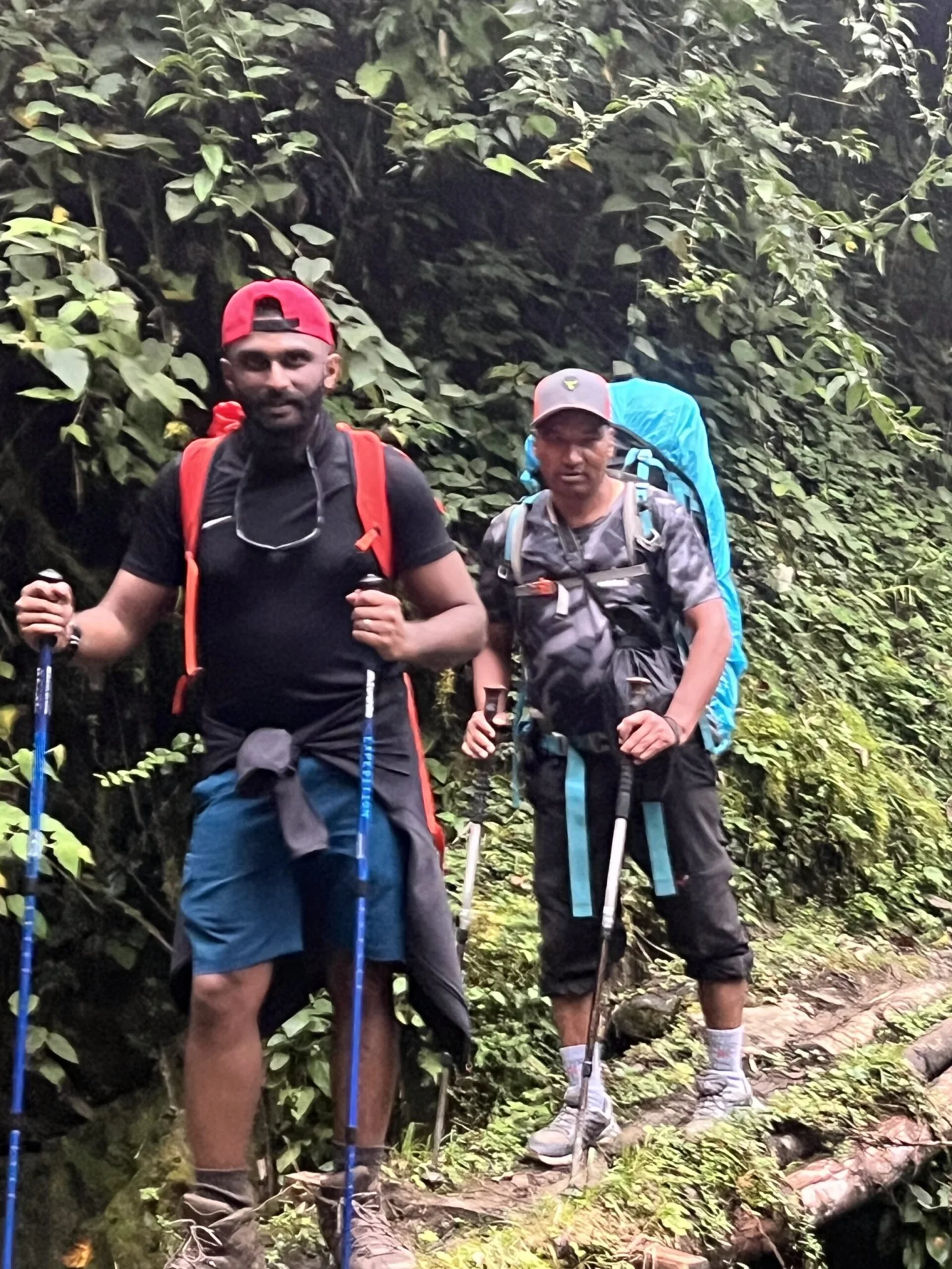
A night camped at Everest Base Camp, in the year Joe Alexander climbs Everest.
From £2,500
£500 deposit to reserve, payment plans available
Everest Base Camp led by Joe Alexander, with two acclimatisation days and a medic.
From £2,595
£519 deposit to reserve, payment plans available
Four days on the W, a daypack only, and a spare day held back for the wind.
From £2,900
£580 deposit to reserve, payment plans available